Sky Map
2006
Sandblasted honed chalkboard slate
52.25 inches high by 20 feet long by .5 inches deep
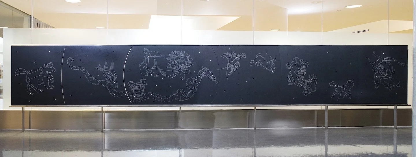
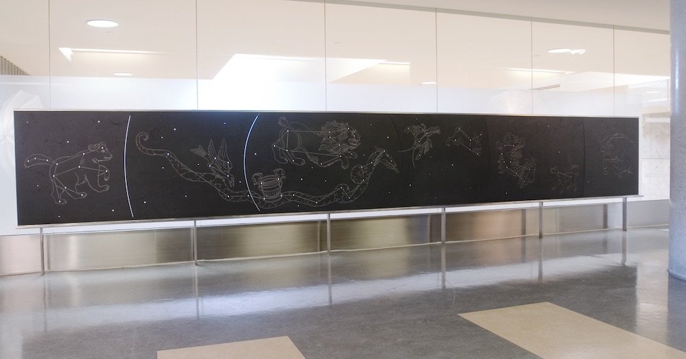
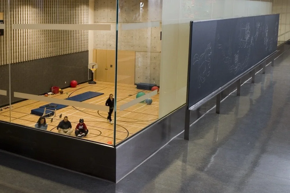
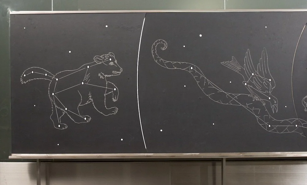
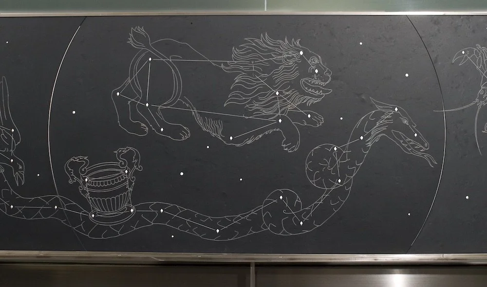
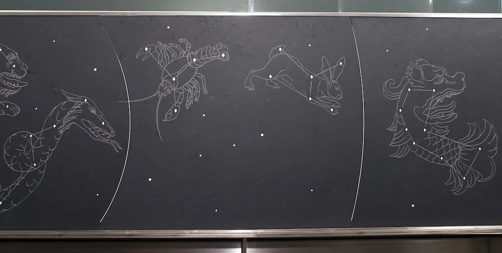
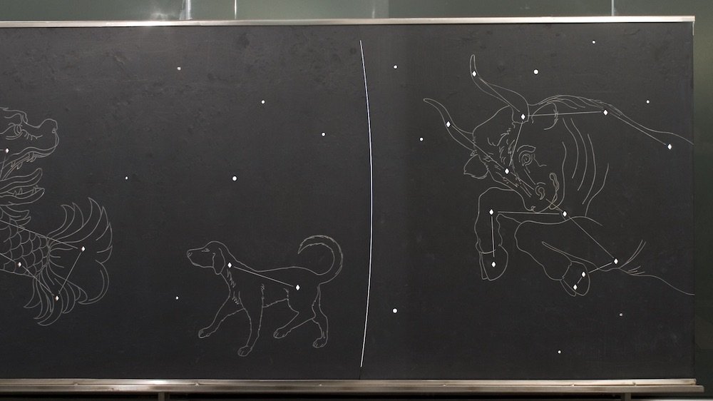
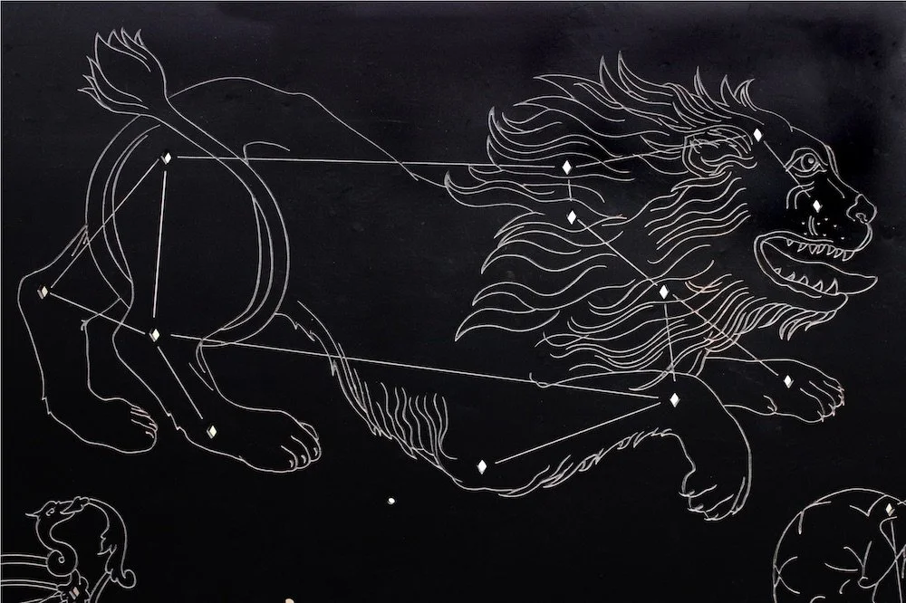
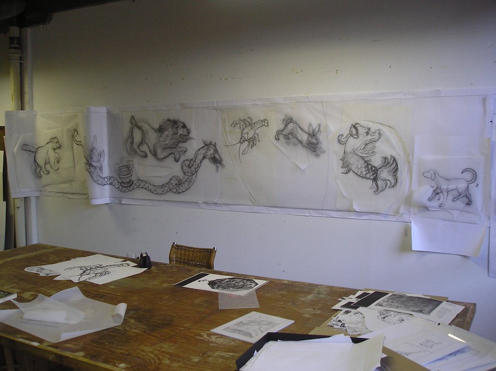
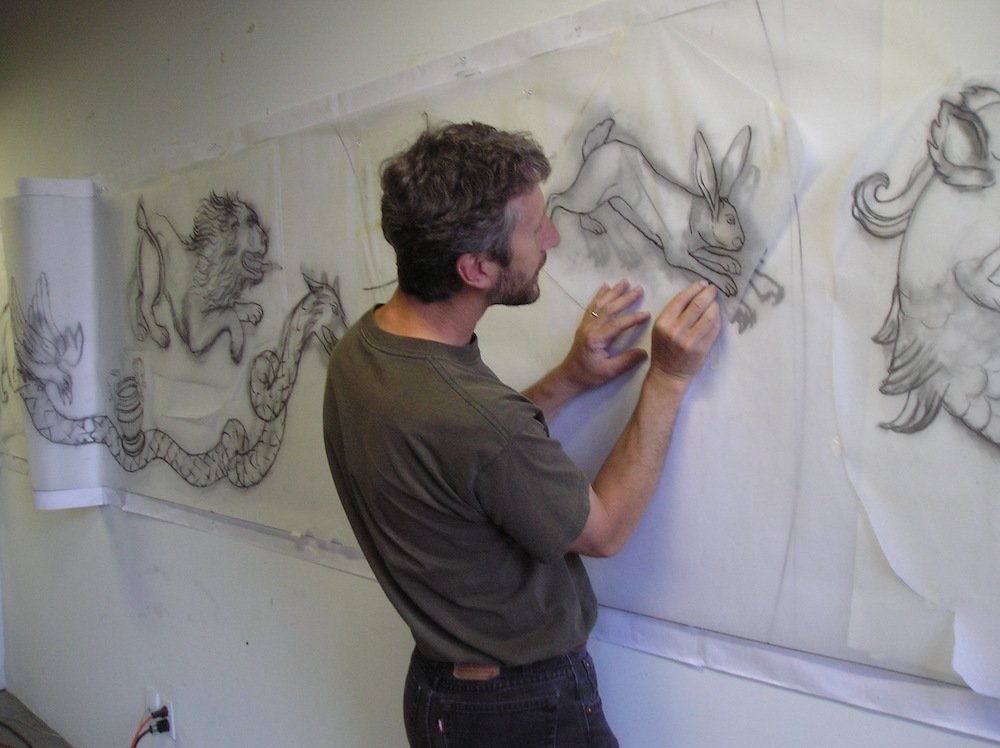
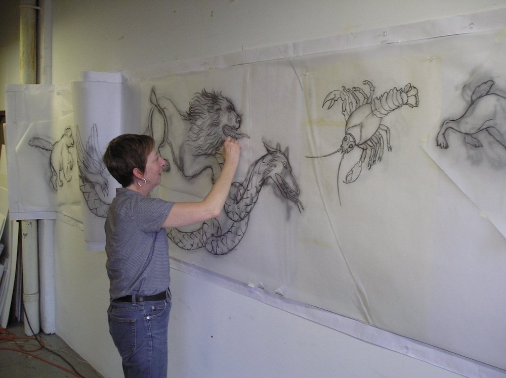
Sky Map consists of a 3' high x 20' wide chalkboard slate installation onto which a sky map of the Northern Hemisphere has been sandblasted into the surface. Diamond shapes pierce though the slate to make up the star chart of each constellation, so that light passing through will "illuminate the stars". Sandblasted lines connect the stars that are surrounded by sandblasted illustrations of historic constellation figures. This artwork is a writing wall that allows for the resident and visiting children to make chalk drawings of their own constellation interpretations within the stars.
One of three Public Art Installations by Carl Taçon & Jeannie Thib (Field Study, Landmarks, and Sky Map) commissioned by the Holland Bloorview Kids Rehabilitation Hospital in Toronto. The emphasis of these three commissions is to establish a dialogue with the children who inhabit the facility in a playful and educational manner and address issues specific to the surrounding natural ravine site. All three commissions are linked conceptually by dealing with notions of mapping.
Sky Map, front view
Photo: Amir Gavriely
Sky Map, front view
Photo: Amir Gavriely
Sky Map, alternate view
Photo: Amir Gavriely
Sky Map, alternate view
Photo: Amir Gavriely
Sky Map, alternate view
Photo: Amir Gavriely
Sky Map, alternate view
Photo: Amir Gavriely
Sky Map, alternate view
Photo: Amir Gavriely
Sky Map, alternate view
Photo: Amir Gavriely
Sky Map, detail view
Photo: Amir Gavriely
One of the resident children drawing on Sky Map with chalk available for use on ledge along bottom edge
Photo: Amir Gavriely
Developing drawing for Sky Map in studio
Developing drawing for Sky Map in studio
Developing drawing for Sky Map in studio
